On March 12, 2023, the Symposium on Development of Frontier Technologies for Science of Surveying and Mapping was jointly sponsored by the Chinese Society for Geodesy Photogrammetry and Cartography (CSGPC) and the Chinese National Committee for IUGG (CNC-IUGG) in Beijing, with the School of Geomatics and Urban Spatial Informatics of BUCEA as the co-organizer. The purpose is to boost productivity in surveying and mapping and promote high-quality development of the digital economy. Nearly 20 academicians from the Chinese Academy of Sciences (CAS), the Chinese Academy of Engineering, and the International Eurasian Academy of Sciences (IEAS) attended the symposium, including CHEN Junyong, LI Deren, LIU Jingnan, WANG Jiayao, YANG Yuanxi, GONG Jianya, GUO Huadong, ZHOU Chenghu, GUO Renzhong, XIA Jun, CHEN Jun, SUN Heping, etc. In addition, more than 290 experts from 42 higher education institutions and 31 scientific research institutions joined the opening ceremony and relevant activities. These institutions include the CSGPC Specialized Committee on Geodetic Survey and Navigation, the Chinese National Committee of IAG, the Chinese Academy of Surveying and Mapping, Chang’an University, Information Engineering University, Tongji University, Wuhan University, Central South University, Liaoning Technical University, China University of Mining and Technology, Shandong University of Science and Technology, the Innovation Academy for Precision Measurement Science and Technology of CAS, the Aerospace Information Research Institute of CAS, and Geodetic Data Processing Centre of the Ministry of Natural Resources.

LI Junfeng, Secretary of the CPC Committee of BUCEA, delivering remarks

Academician XIA Jun, Chairman of CNC-IUGG, delivering remarks

Mr. SONG Chaozhi, Director-General of CSGPC, delivering remarks

Academician LI Deren presenting a report
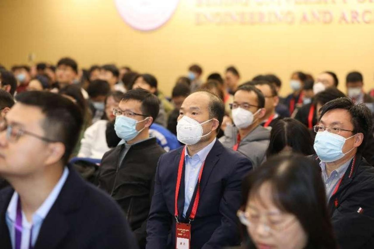
Audiences

Group photo
The symposium focused on the development of the science of surveying and mapping integrated with artificial intelligence, big data, cloud computing, 5G and other technologies, and discussed the innovation and application of the science of surveying and mapping in smart cities, new fundamental surveying and mapping, 3D real-scene construction, urban governance, etc. It received widespread attention and active participation of nationwide counterparts in surveying and mapping, serving as a broad platform for the high-quality development of this industry to present research achievements and discuss frontier issues.